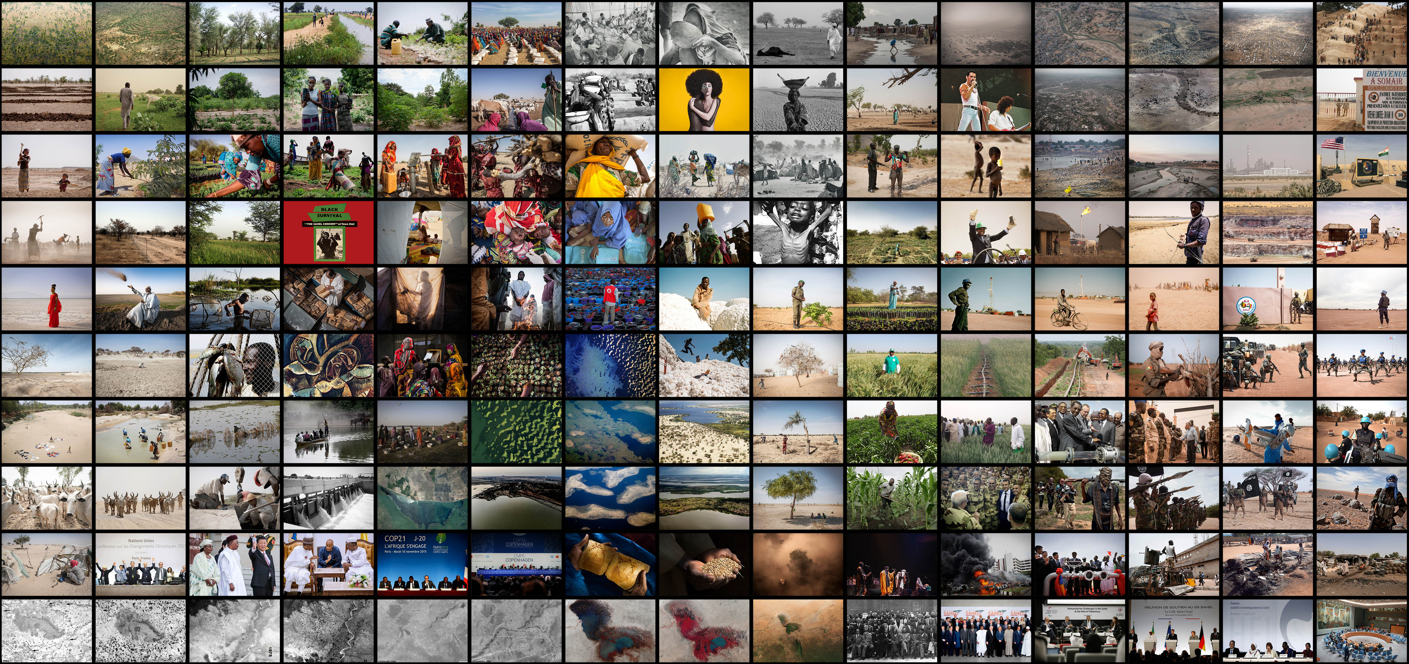
In view of the rapid change in the contemporary social imaginary of the Sahel, ‘A Thousand Islands and a Lake’ looks into the complex interweaving of humanitarian, social, economic, political, and environmental realities of the region to propose an understanding for a multiplication of borders—borders not in their quality of separation, but rather in their quality of creating adjacency and encouraging exchanges. It establishes a case for the increase of resilience across the Sahel through its perception as a cosmopolis.

Sampling the variating vegetation of Lake Chad through 2019. The movement of people across borders is also captured through the different formal and informal settlements of refugees and IDP.
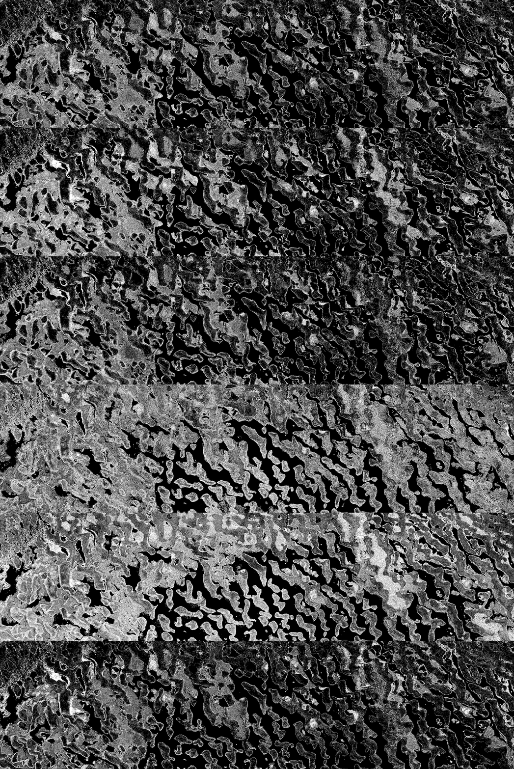
Visualising the movement of 'floating islands' (of vegetation) that change the pattern of movement across Lake Chad (Jan to Dec 2019).
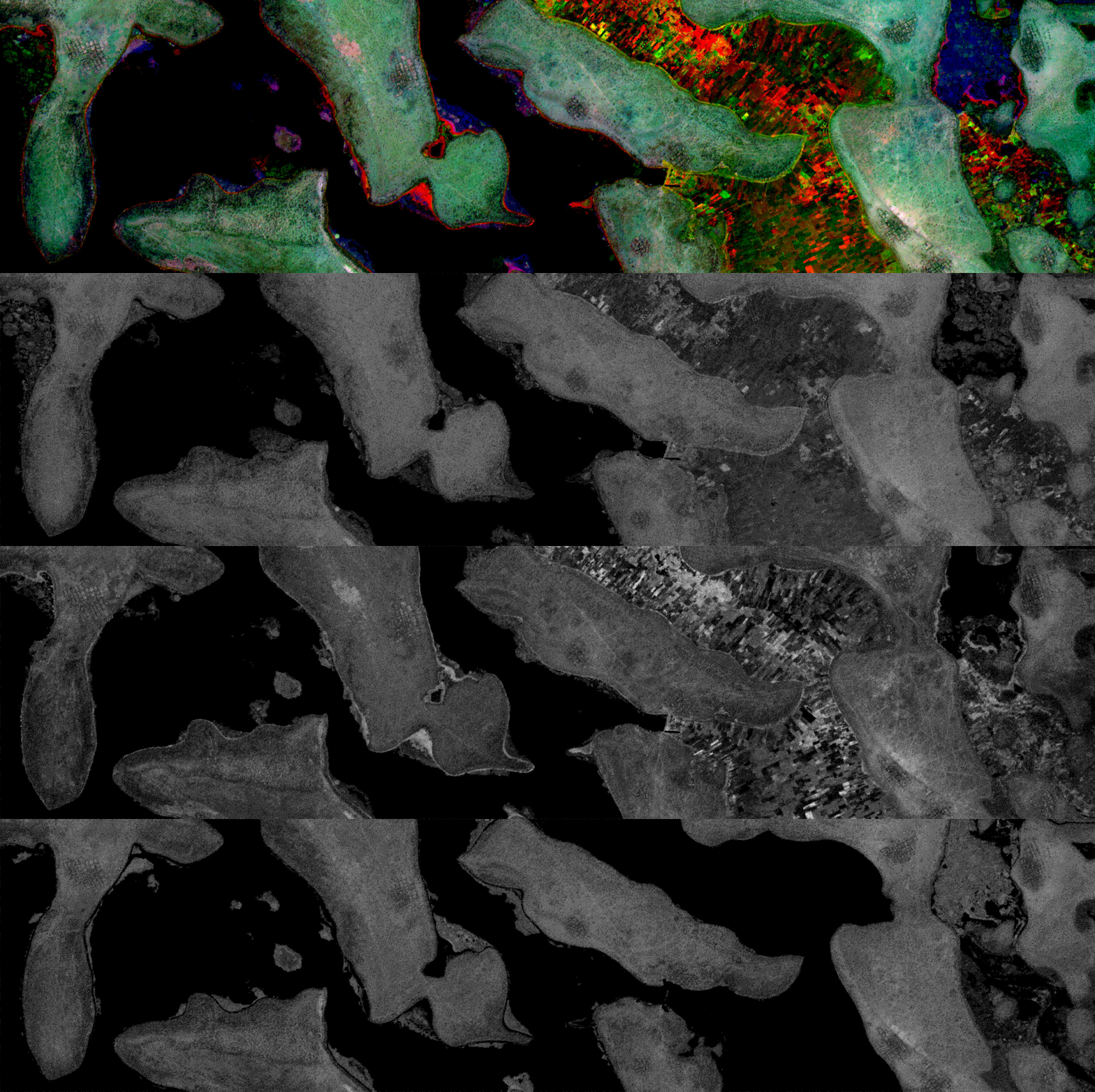
Overlaying the changes in the architecture of Lake Chad (May, Sep, and Jan 2019/20). Polders are turned on and off in multi-annual cycles completely transforming the livelihoods of the islands.

Capturing the changes in the vegetation of Lake Chad between January (Red), May (Green), and September (Blue), 2019.
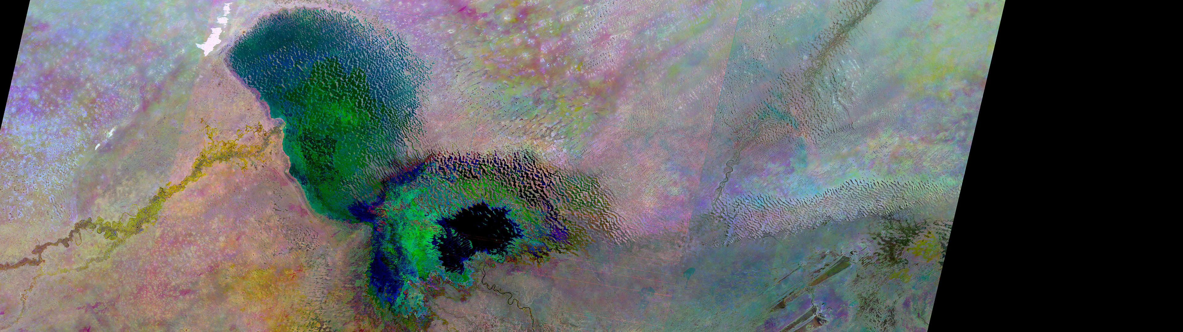
Capturing the shrinking of Lake Chad between 1974 (Red), 1986 (Green), and 2019 (Blue).
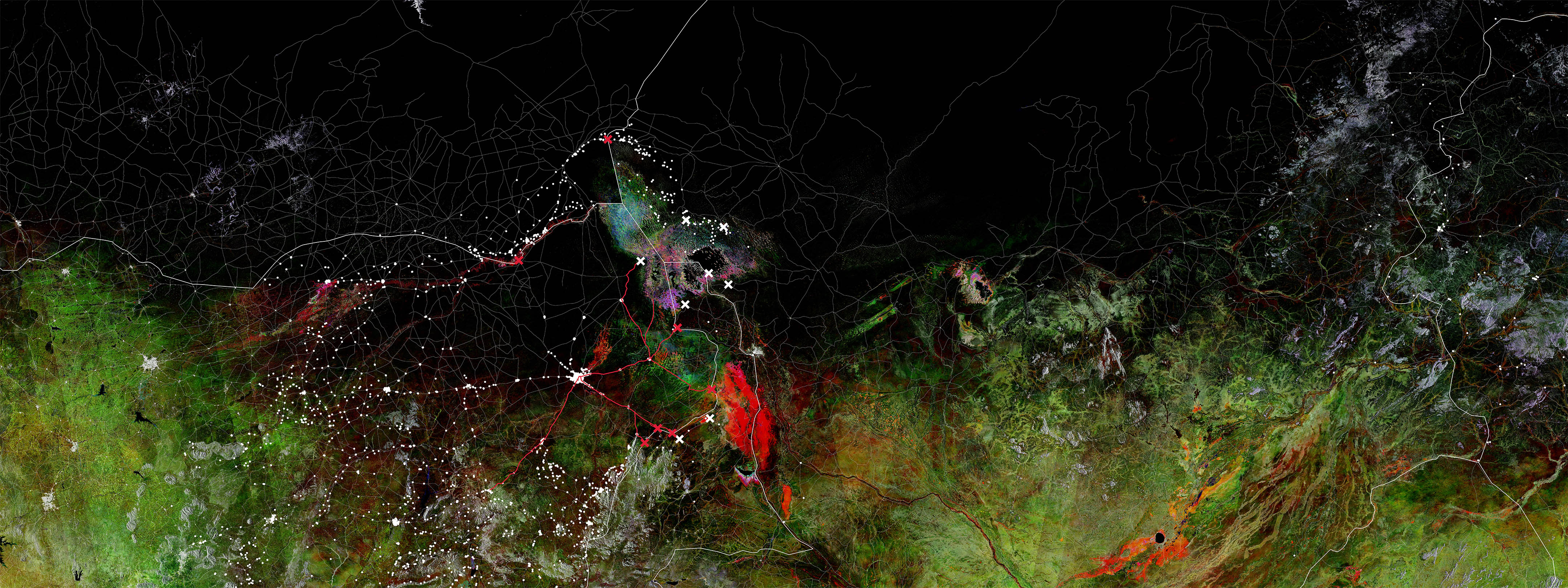
Visualising the geopolitical reality of the Lake Chad region in 2019, combining closed roads, closed border crossings, closed markets, off-limits areas, and displaced settlements due to conflicts.
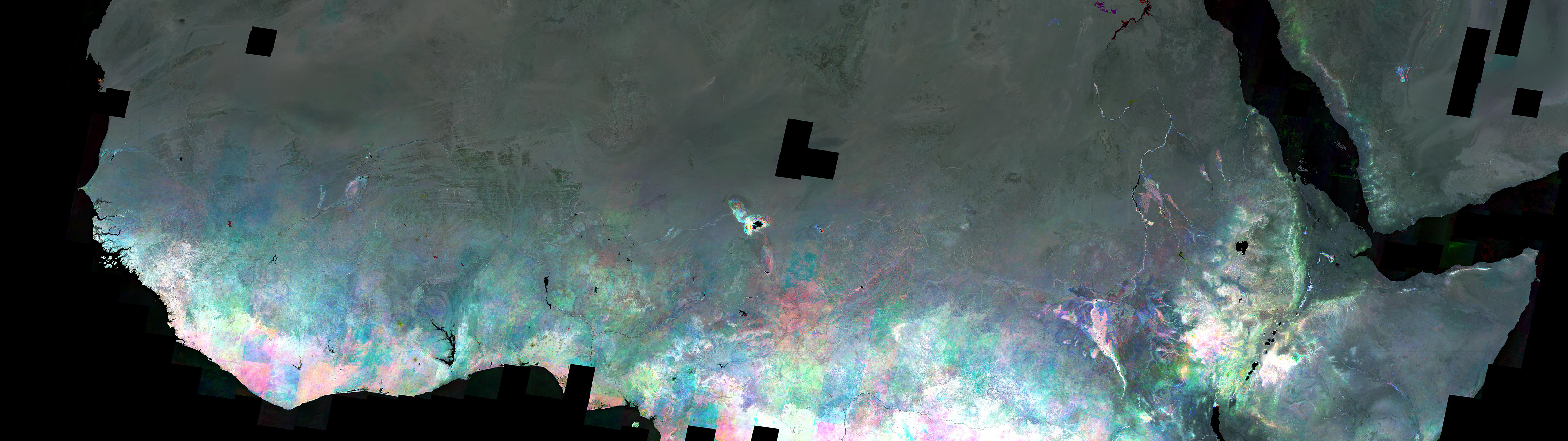
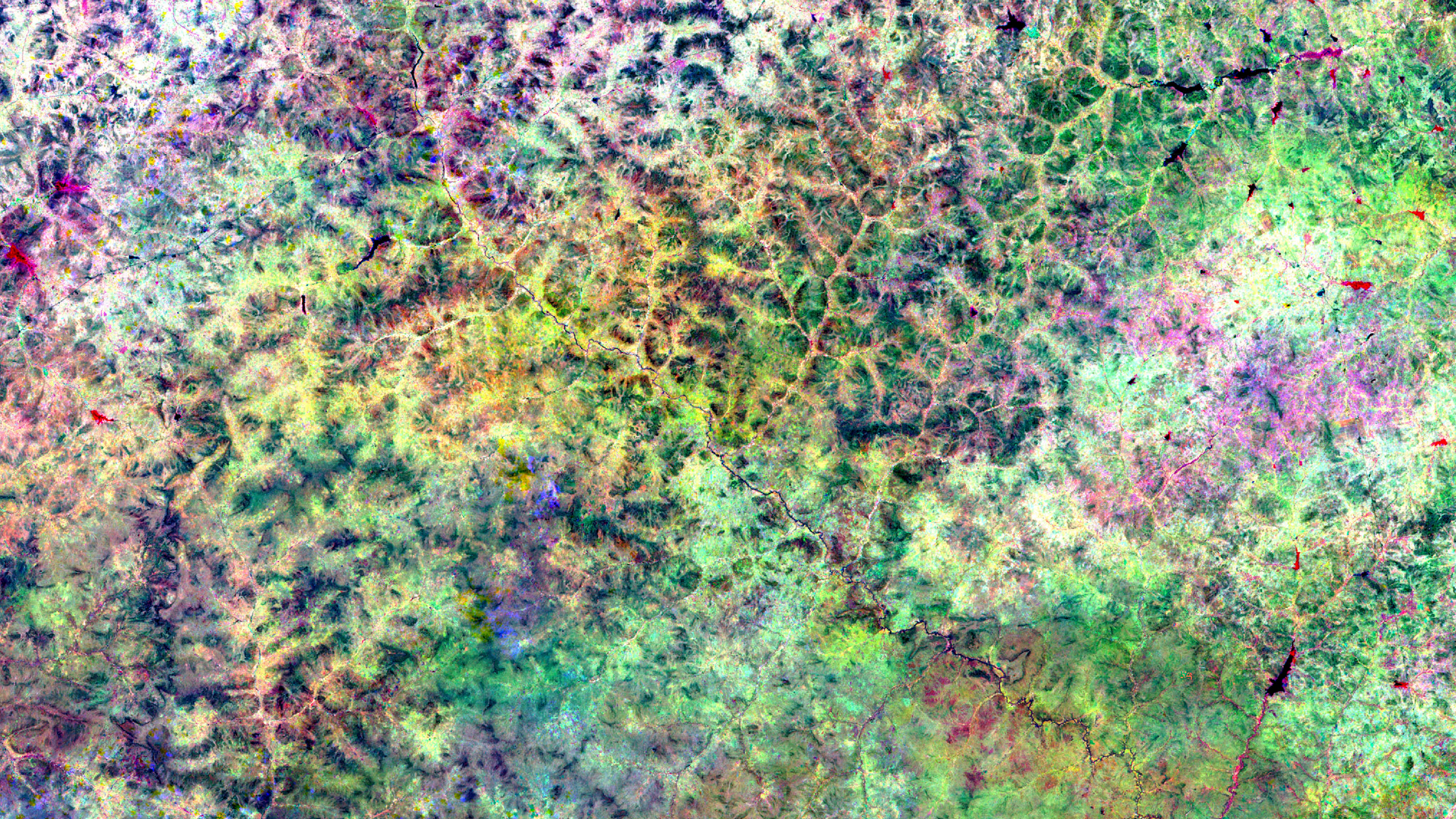
Analysing the variation in vegetation across the Sahel between 1985 (Red), 2000 (Green), and 2015 (Blue). This image captures the droughts in the Sahel and Ethiopia of the 1970s and 1980s.
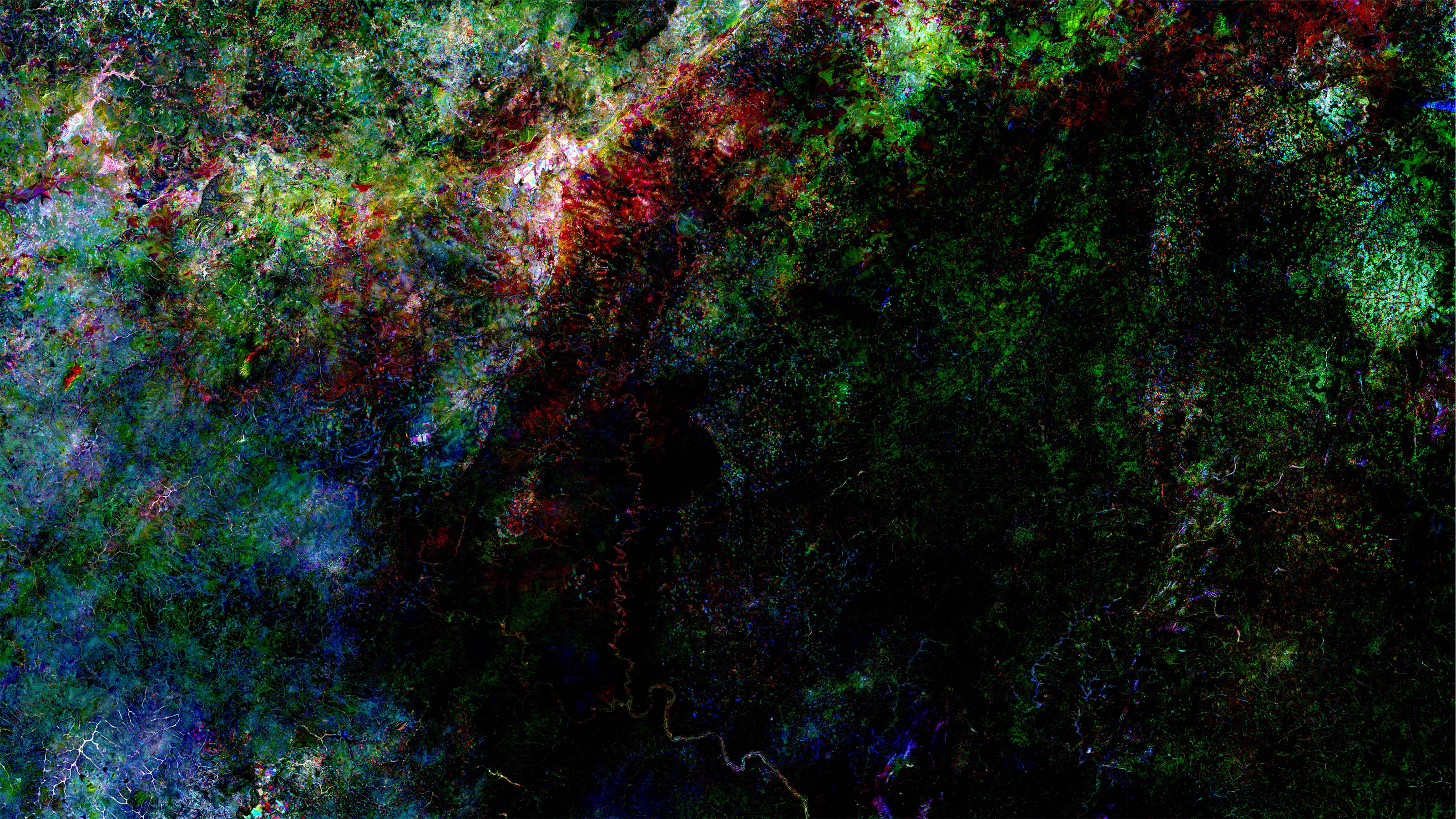
Capturing the important development of agriculture in Burkina Faso (green areas on the Left) during the mandate of President Thomas Sankara (1983-1987).