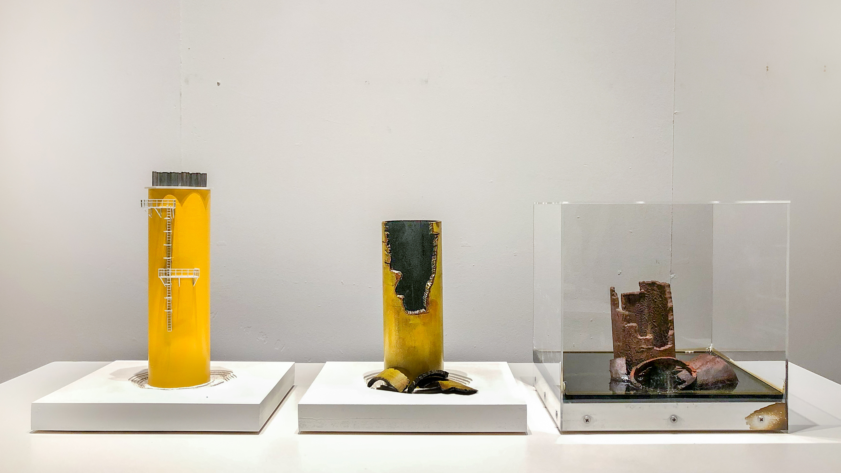
Oil rigs have always been engines of transformation. Since their first arrival in the North Sea, the landscapes of remote territories have undergone massive changes to accommodate their construction. If an oil rig is a fixed-drill platform, this structure is to be dismantled and recycled in place. When an oil rig has an engine and a propeller, however regulations can be outdistanced. So, two parallel worlds unfold; one of highly technical decommissioning along the shores of specialist European sites and another of illicit disposal in the shadowlands of shipbreaking yards in Turkey and Bangladesh.
Decommissioning vessels or, ‘ship breaking’, can be carried out in a terrain where the natural configuration of land and sea allows large ships to be beached. Eventually the oil rig disappears, its traces can only be measured as particles of dust, or the coloration of an entire landscape from a satellite. When there are fewer ships on the beach the landscape is stained rust red. What are the frameworks implemented that limit contamination? And where should they be? Is there a place for them in Europe or can they only exist in the distant shadowlands of remote beaches?
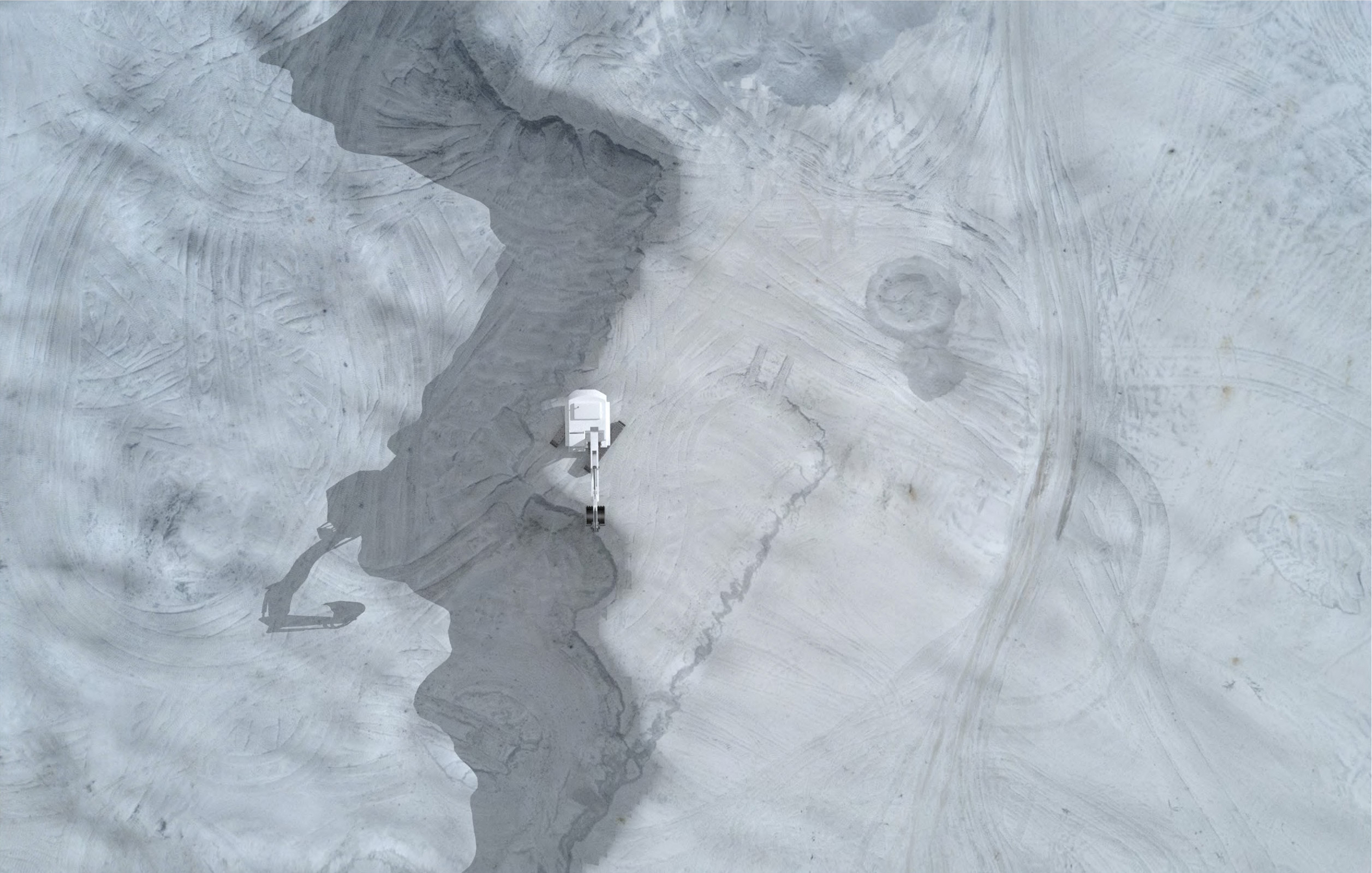
Cromarty Firth's Mudflat, Separation, Digital Rendering
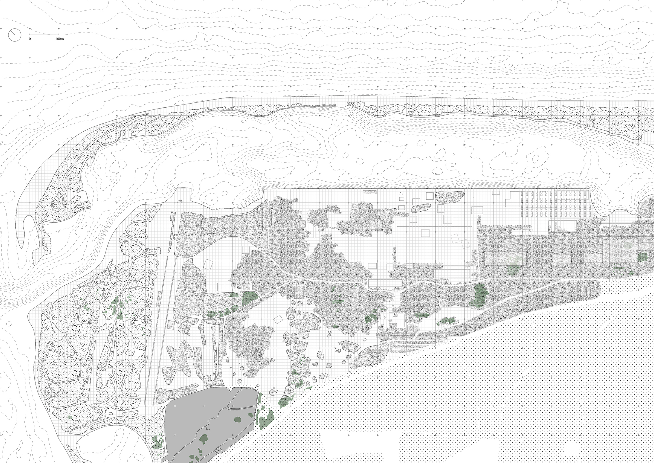
Cromarty Firth's Mudflat, Contaminated Zones
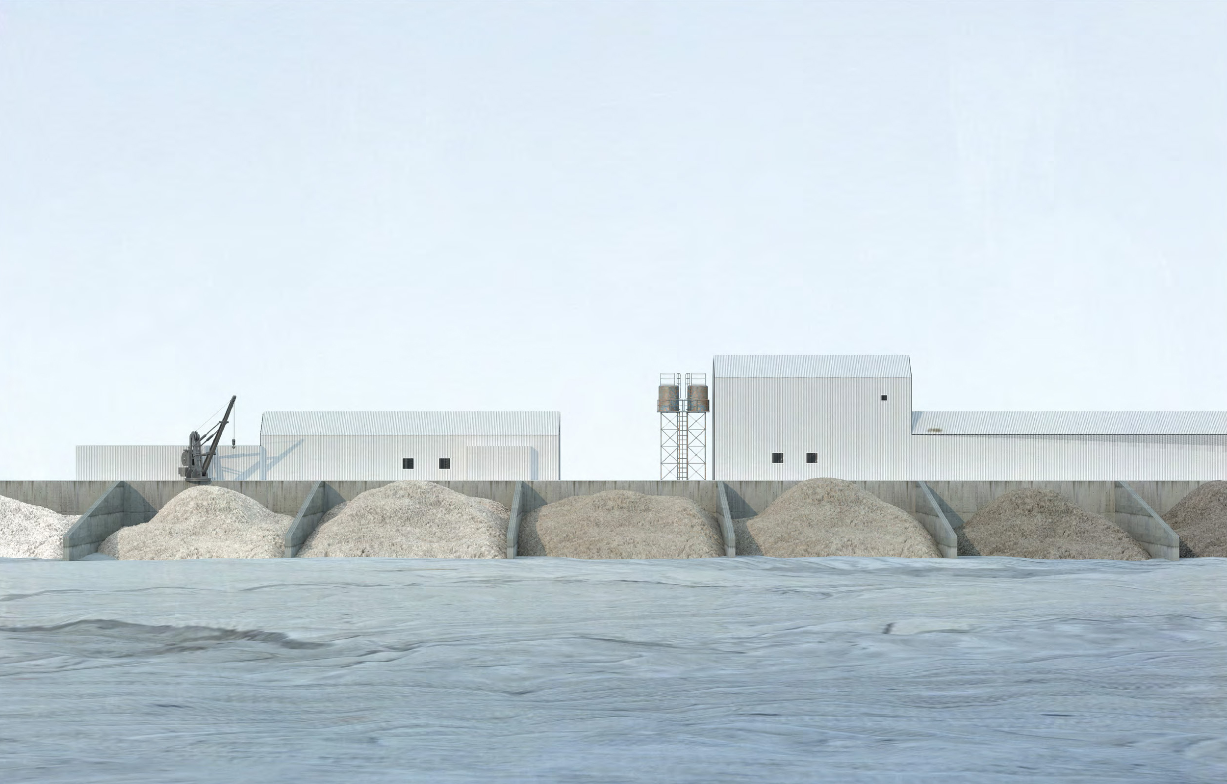
Cromarty Firth's Mudflat, Sand Deposit, Digital Rendering
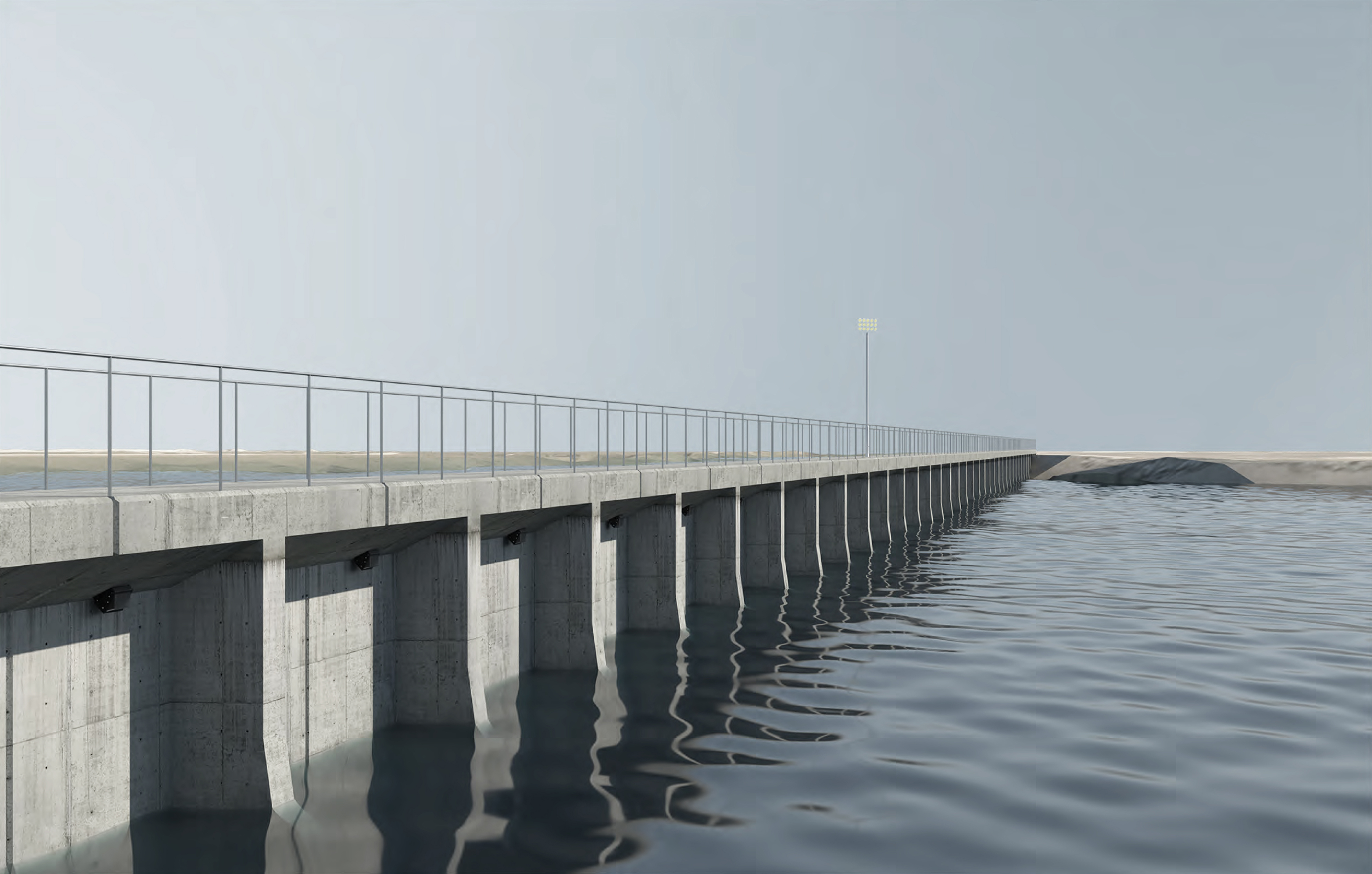
Cromarty Firth's Mudflat, Tidal Dam, Digital Rendering
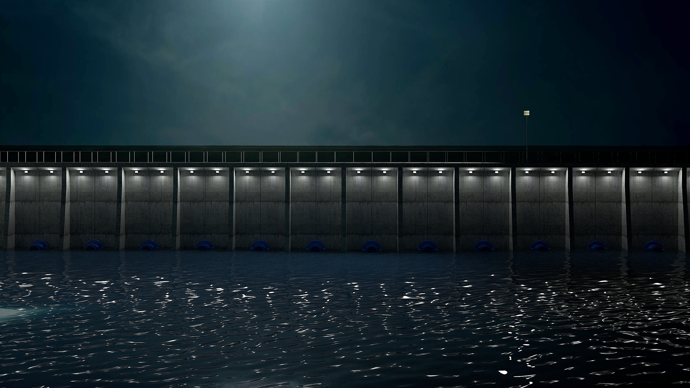
Cromarty Firth's Tidal Dam, Night View, Digital Rendering
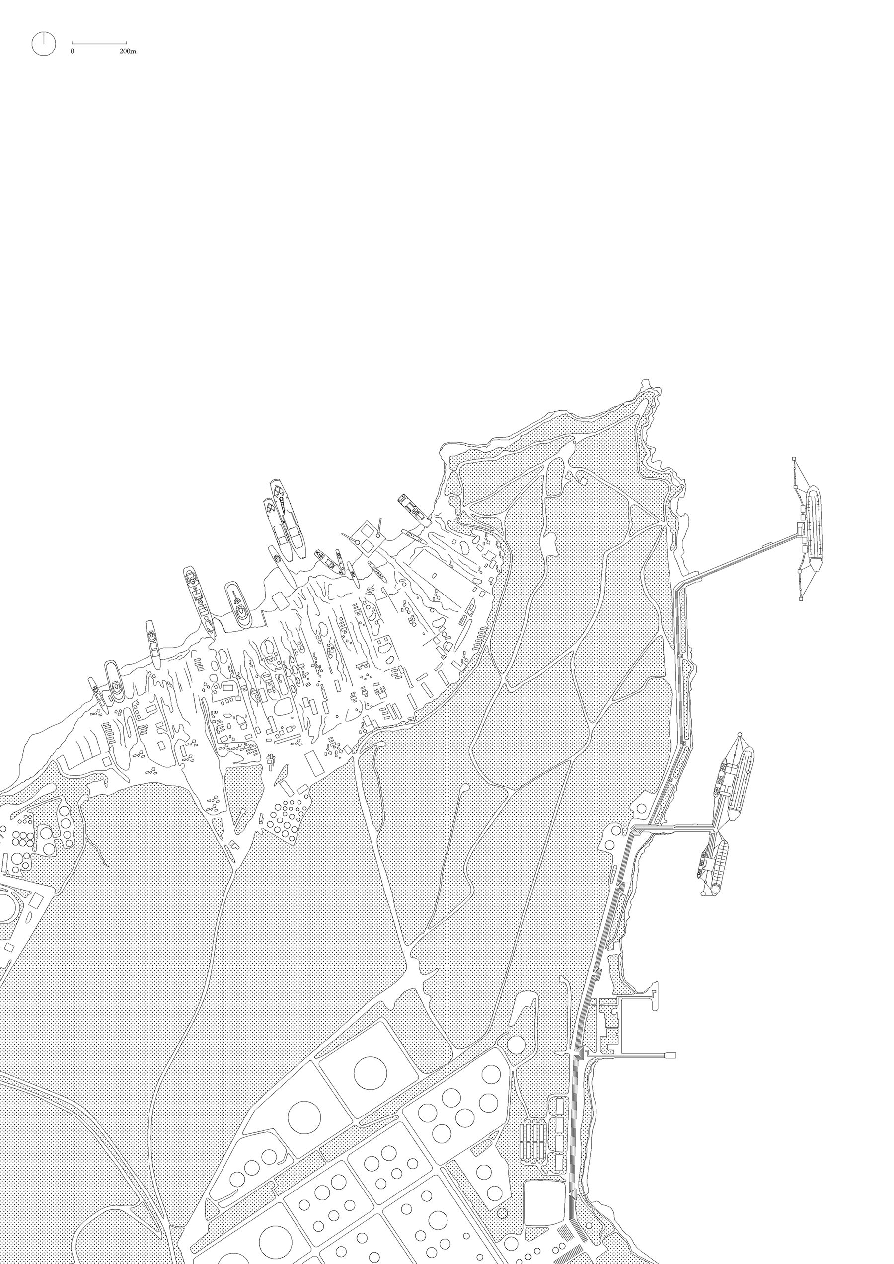
Aliaga's Mudflat, Contaminated Zones
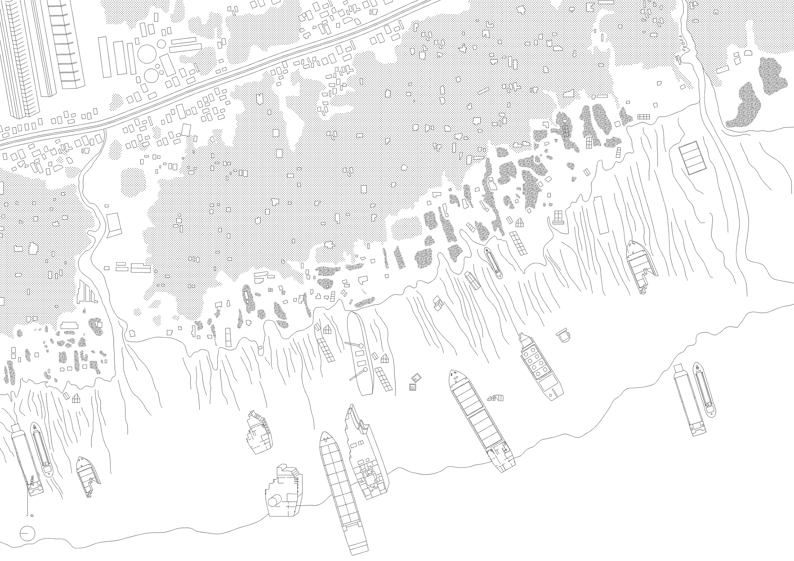
Chittagong's Mudflat, Contaminated Zones
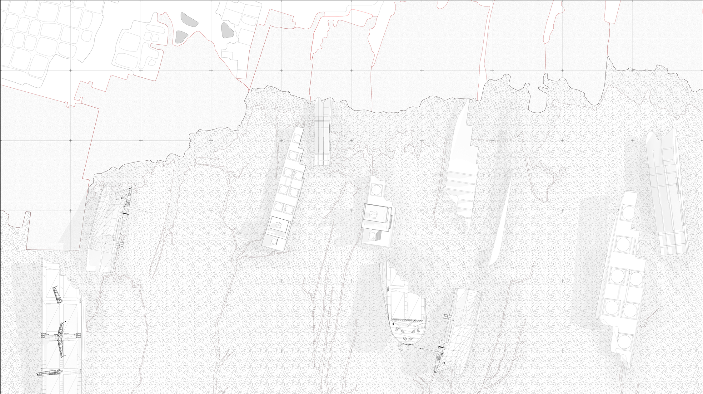
Chittagong's Mudflat, Contaminated Zones [Detail]
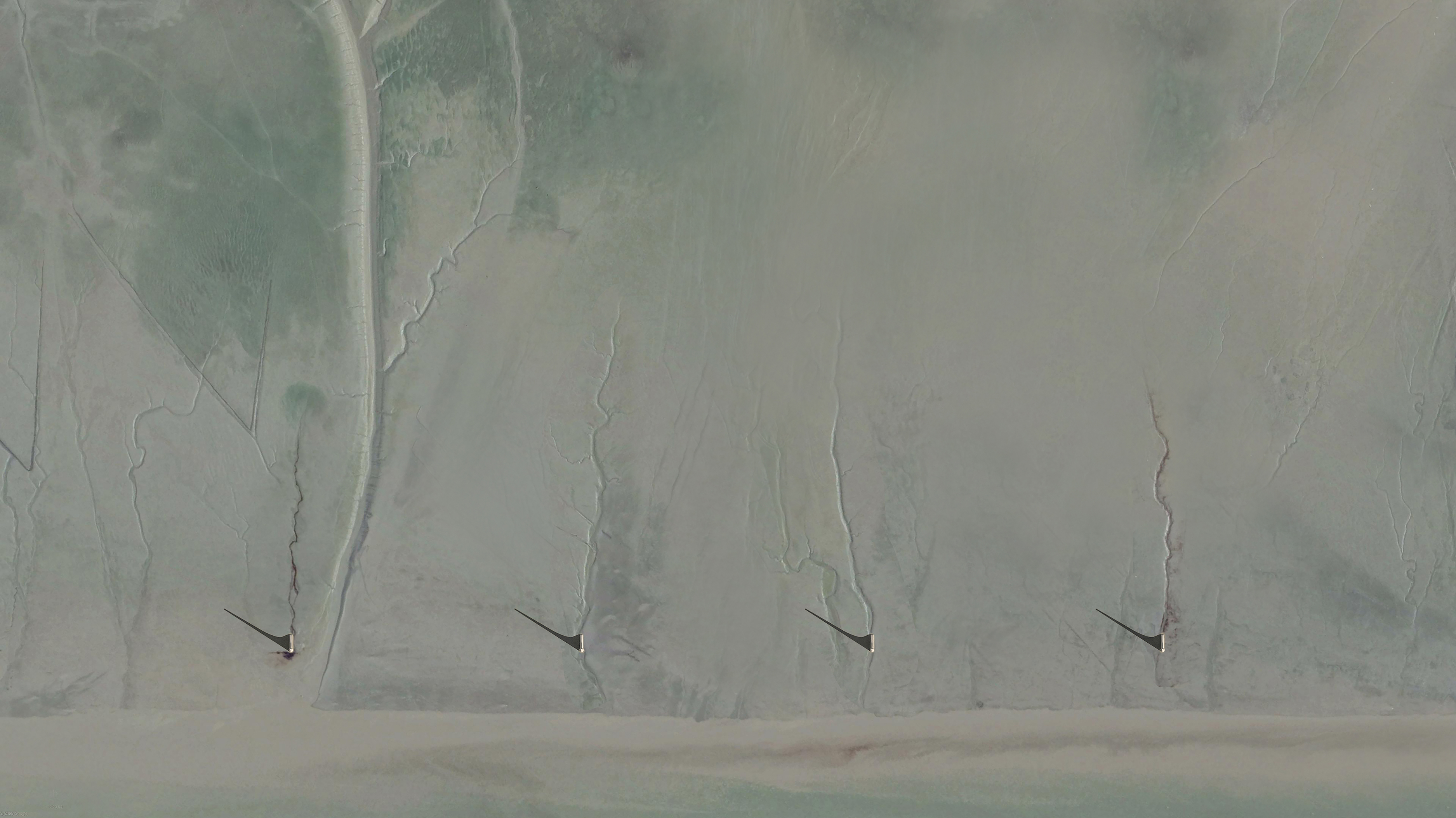
Chittagong's Masts, Low Tide, Digital Rendering
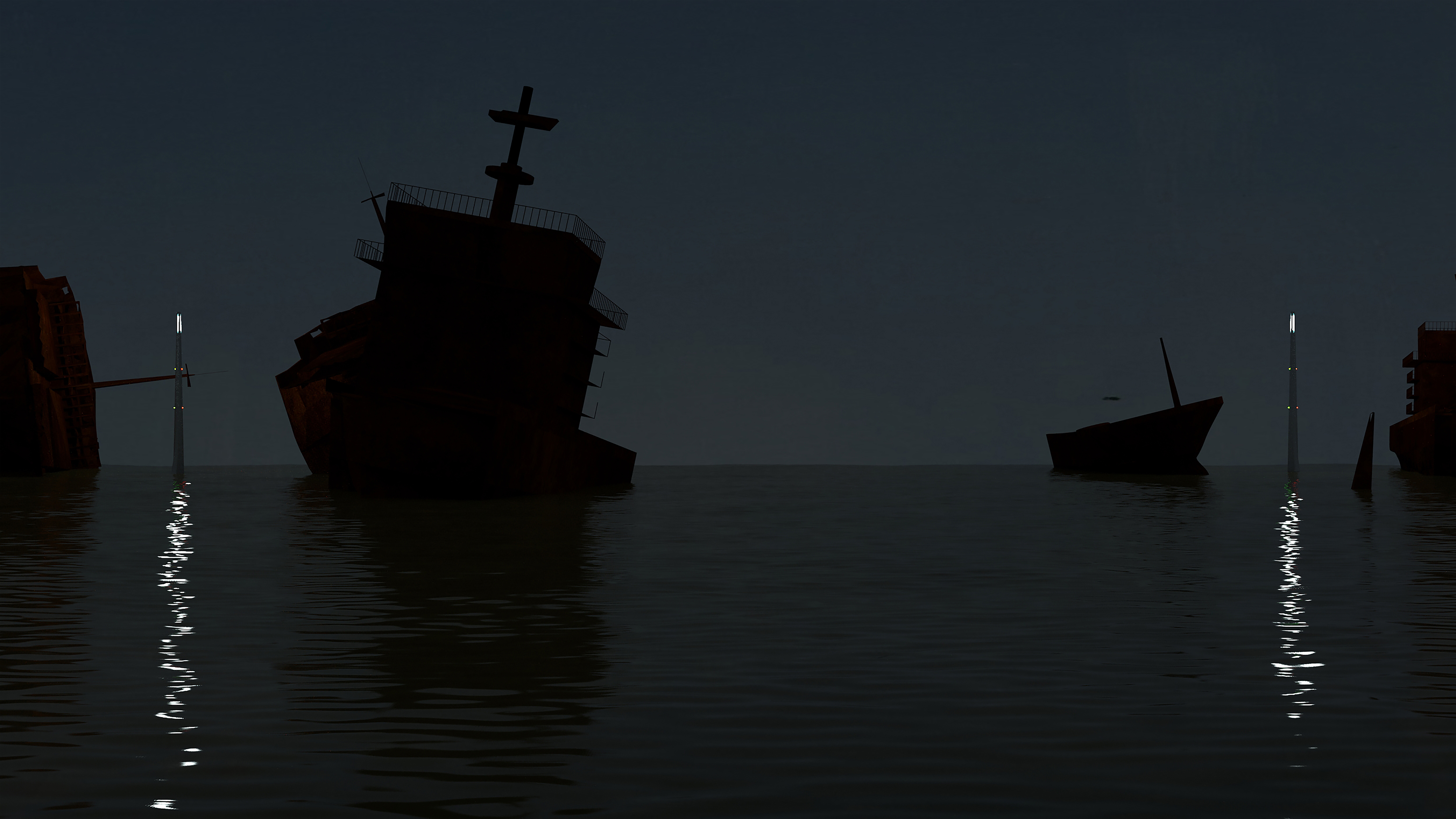
Chittagong's Masts, High Tide, Digital Rendering
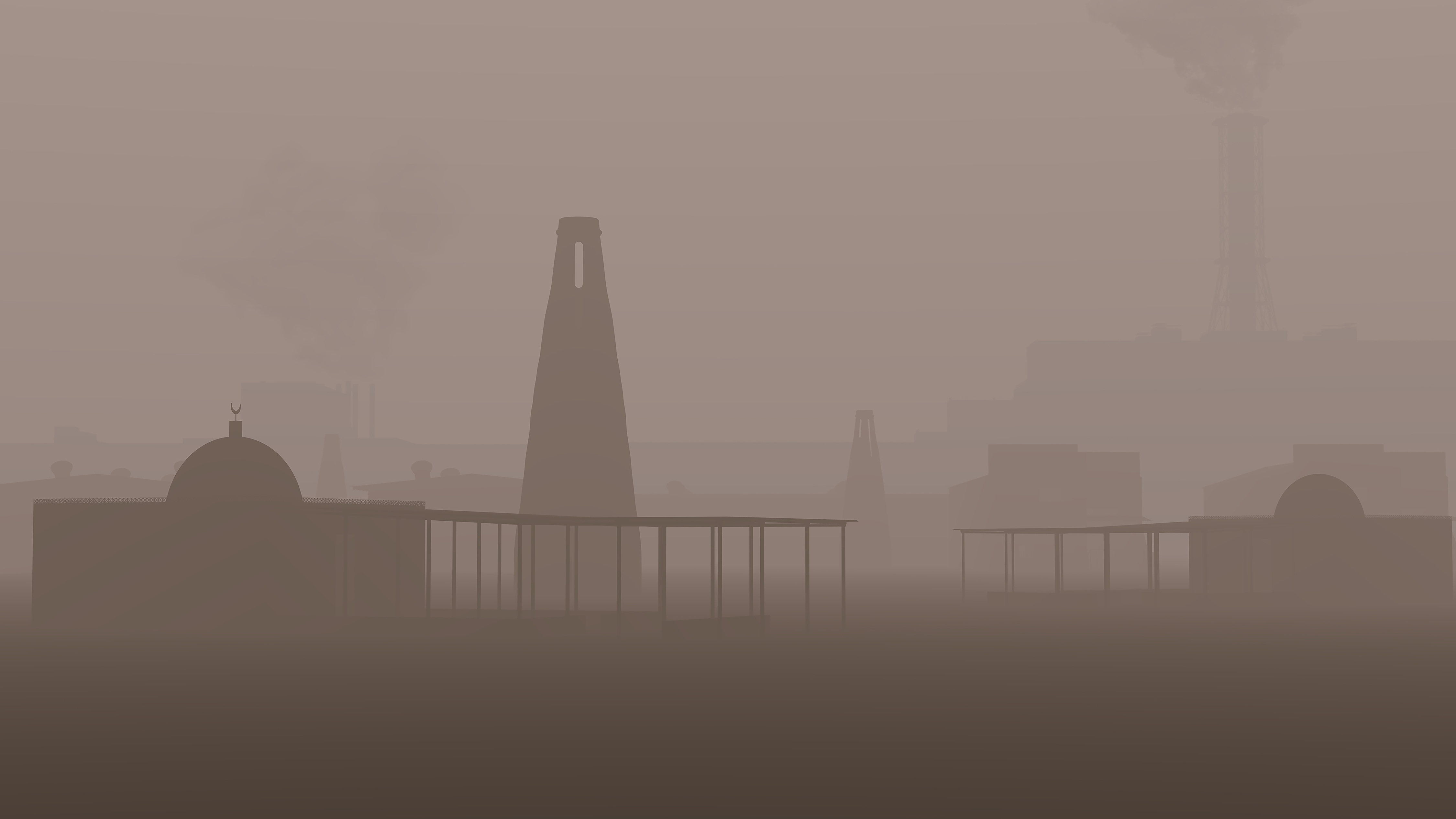
Chittagong's Dust Catchers, Inland, Digital Rendering