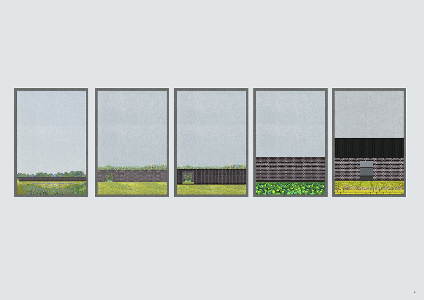
Borrowed Land
Idi Ece Kucuk, MArch (Year: 5)
The shifting character of the coastline in Britain brings our attention to the measurement of a line in relation to the production landscape. The project responds to the Roll-Back Scheme, a Shoreline Management Policy which defines the line between Britain and the North Sea based on the geometry of administrative boundaries instead of geomorphic processes. As both a planning strategy and spatial proposal for coastal farming in the UK, the project pilots a model for a redistribution of risk through collective maintenance and co-operative ownership.The proposal sets out a series of successive landscapes, which differ in height, species, transparency, cross sectional quality and density to produce a set of edges for the horizon line, and create borders to diversify. These soft and hard infrastructural screens, informed by a series of comparative environmental conditions, exercise public rights along the fore- shore. Gardens, new tree plantations and access infrastructure; sub - sub divisions within the thickness of agricultural boundaries which are occupied and maintained collectively.
Ultimately, the project uses the offset gap defined by the Roll-Back scheme as an easement to define the public, revisiting the landscape as one which is driven by use, not ownership; promoting a new language around public space.
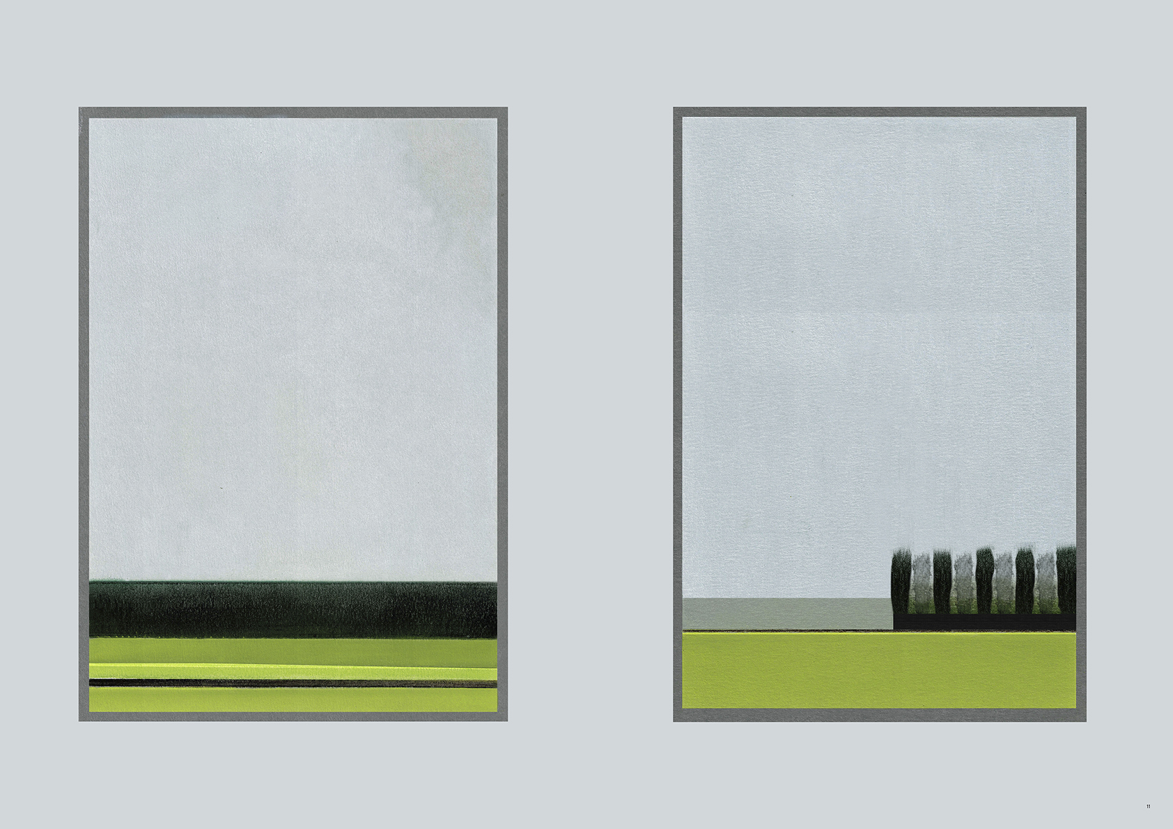
The proposal establishes two distinct readings of the landscape, the collapsed East-West and mirroring North to South, framing open zones and preserving a relationship with the coast
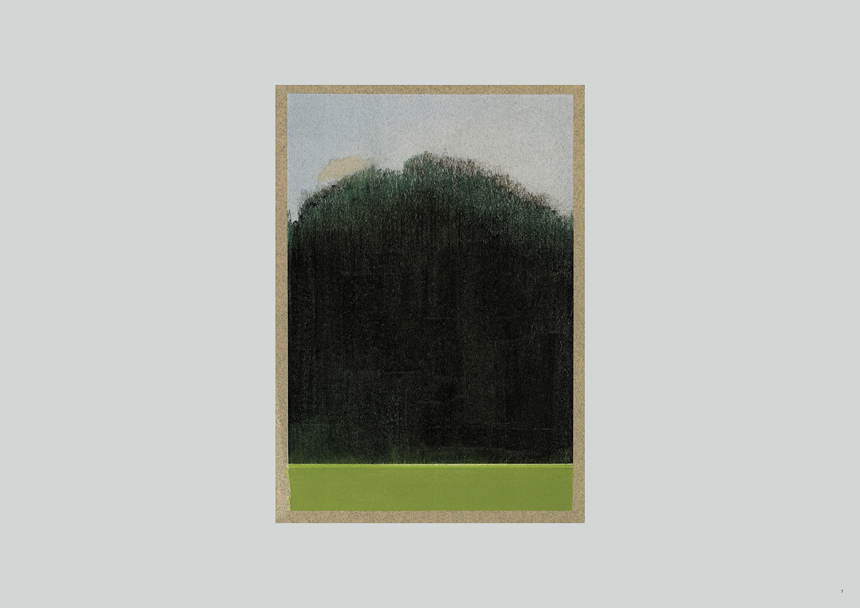
Forest strip, Dry pastel on card
Forest strip distant view, Dry pastel on card
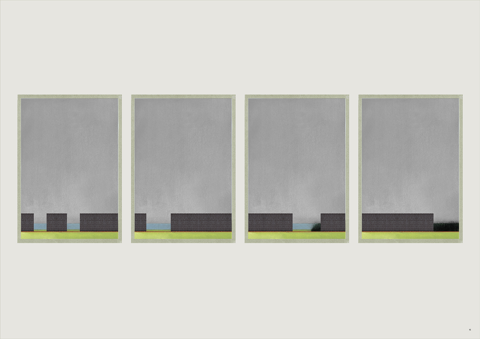
Proposed reservoir, Dry pastel on card
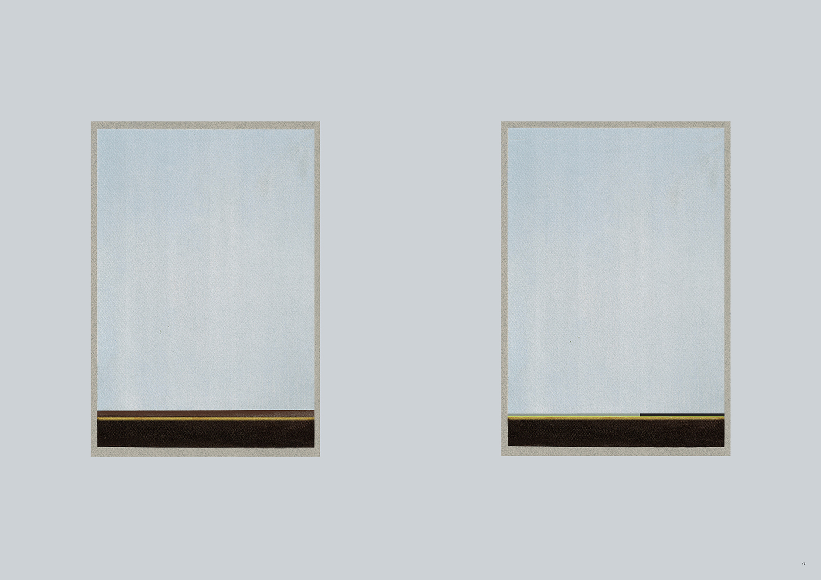
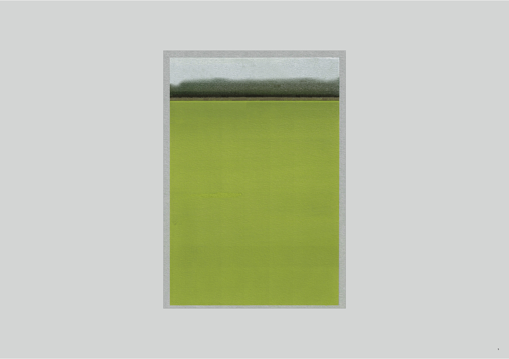
Distant view of marshland, Dry pastel on card
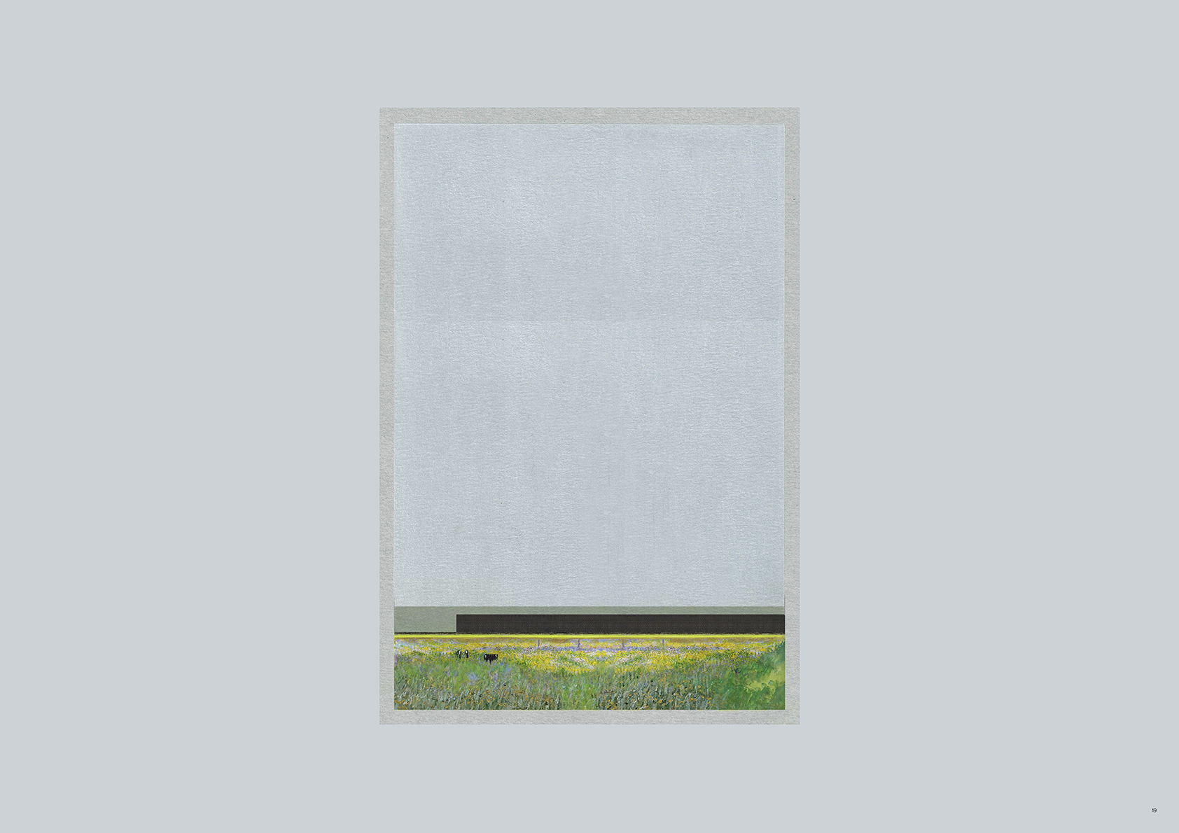
Proposed seasonal grazing ground on marshland, June - August
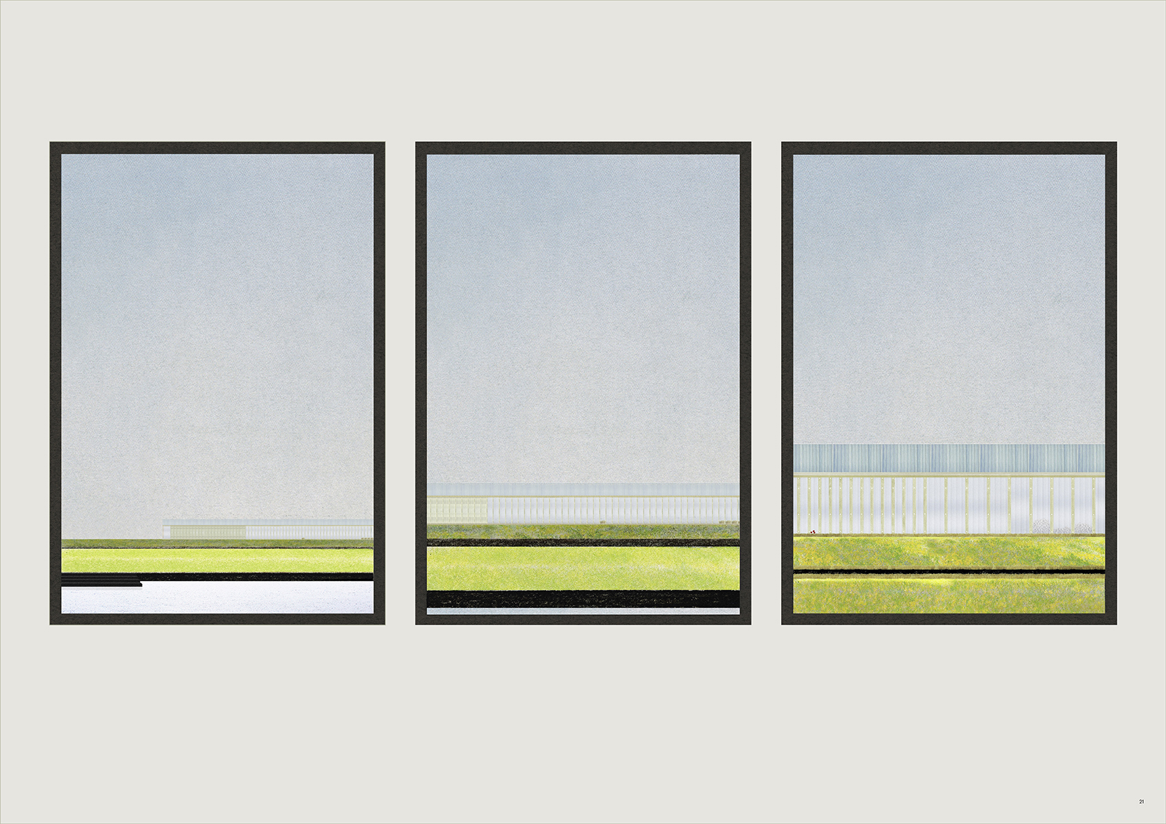
Proposed shed next to reservoir

Refraction to Reflection: Hard Infrastructures adjacent to the reservoir are transformed into illuminated dikes, a series of spotlights reflecting from the surface of the water and onto the field.