The project outlines an excavation of a segment of the Victoria Embankment, to reconnect Londoners with the infrastructure and history of the River Thames as an urban space.
From the 13th century until the Victoria Embankment was built, the The Temple Gardens were directly accessible from the river. The Thames Embankment Act of 1862, which reserves a right of access for members of the Temple, has been left unnoticed.
Although the Thames is owned by the London Port Authority the river bed is part of Crown Estate, and could therefore be considered public grounds. An excavation here could have profound political implications, as prompted by the forgotten the Embankment Act. Not just because a cut into the Gardens reverses the assumed direction of riverfront development, but also by opening ways in which communities that have not historically been recognised in an archaeological discipline, beachcombers and mudlarkers, can pass on their knowledge and experiences.
Deepening the foreshore would allow for a literal horizontal reading of the past 8 centuries of embanking at Temple Gardens.
Where natural processes are let to influence what is public and what is not could enable a more realistic view what is society and what is nature.
 5.jpg)
Underneath the current Circle and District Line finding artefacts at the offset of 18th century waterfront
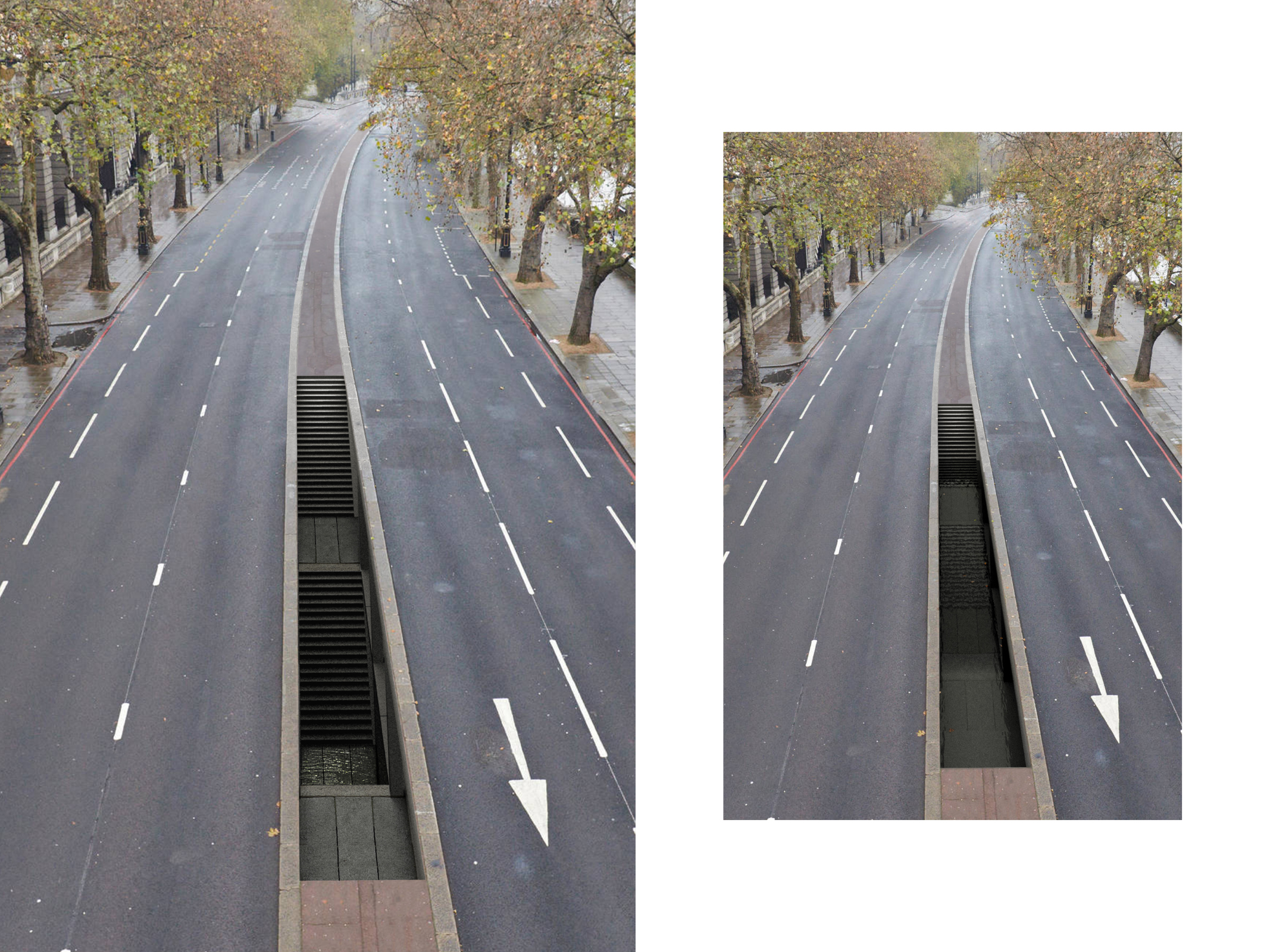
Public access stair into excavated space seen flooded at mean high tide
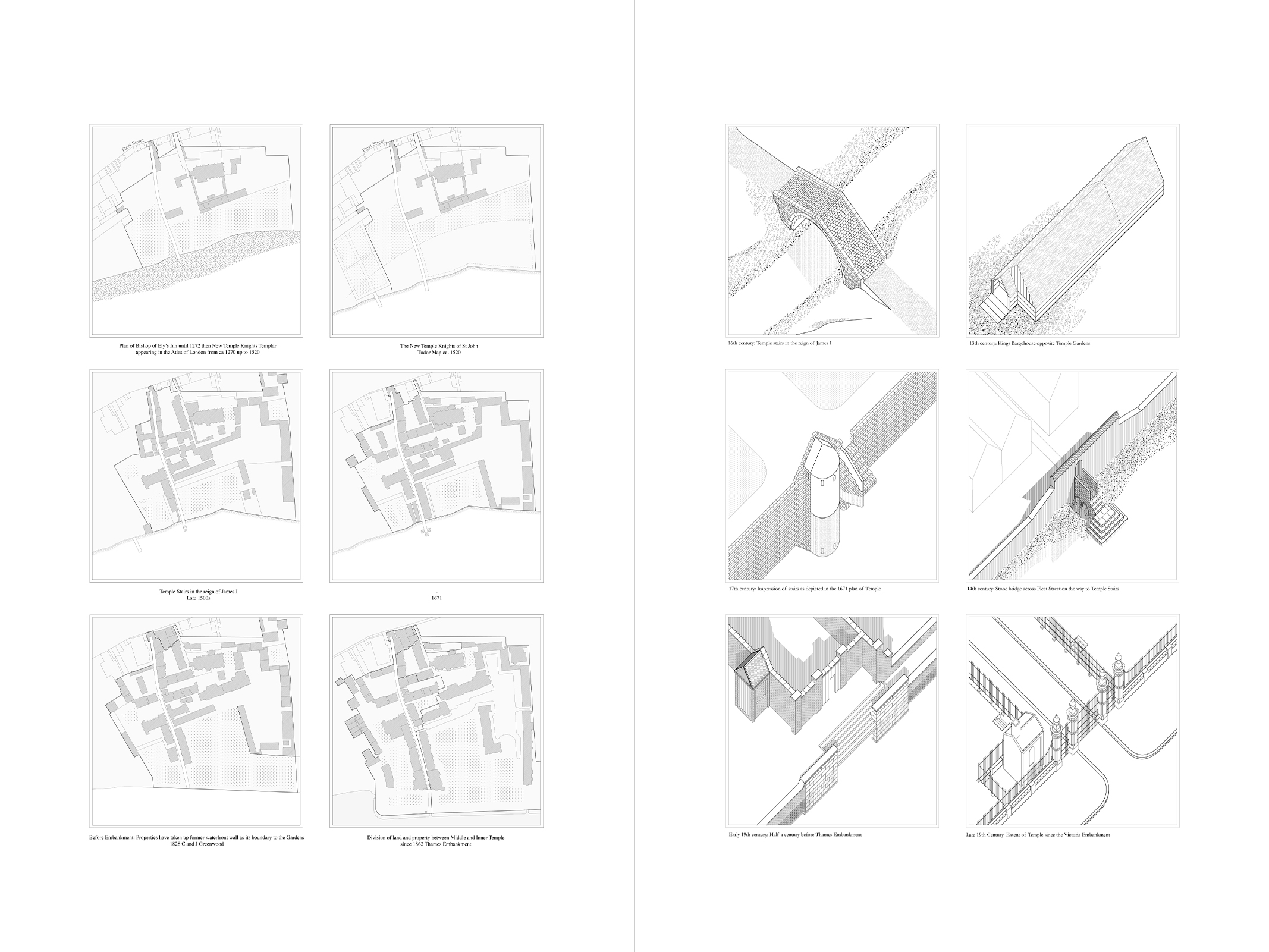
Successive offsets of the waterfront at Temple Gardens 1270 - 1862 / Evolution of Temple Stairs to current Temple Garden gates
 2.jpg)
The 1862 Thames Embankment Act / Aerial view of Temple Pier that replaced the Old Temple Stairs
 2.jpg)
Artefact unearthed in line with 18th century waterfront at Temple Gardens
 4.jpg)
Section through Embankment during excavation outside Temple Gardens
 2.jpg)
Damage to the Victoria Embankment after the 1928 Thames Flood / Inside coffer dam and temporary lock system during excavation and deposit of soil
 3.jpg)
Boat view of interior space at mid-tide / The remains of a Tudor jetty in the river mud. An old chest has been placed on a pallet surrounded by measuring sticks, to be documented and archived
.jpg)
Archive of artefacts and geological samples from Victoria Embankment / Intervention for a deposit site on South Bank as seen from end of Gabriel’s Pier
.jpg)